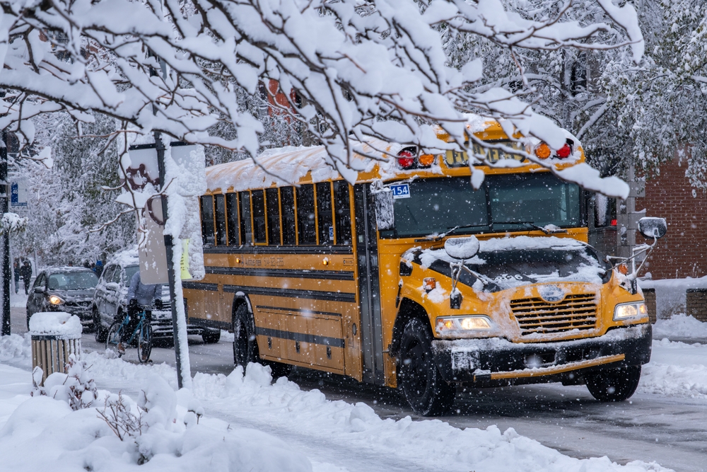
The snow squall that swept through north-central Ohio on Tuesday afternoon caught more than 450,000 residents with minimal time to seek shelter or avoid hazardous roads. The fast-moving snow squall prompted the National Weather Service office in Cleveland to issue its initial alert moments before 4 p.m. Eastern Time, after radar systems and webcam footage revealed the rapidly approaching threat.
The snow squall warning zone initially covered Huron, Erie, Lorain, Richland, Ashland and Crawford Counties. Within 45 minutes, the danger expanded dramatically. By 4:45 p.m. Eastern Time, additional alerts brought the total number of affected residents to over 1.7 million people, including those living throughout Cleveland’s metropolitan area.
Weather officials urged residents to reconsider any travel plans until the snow squall passed completely. Those already on the road faced stark choices to find the nearest highway exit or rest area immediately, park well away from traffic lanes and wait for conditions to improve. The alternative meant risking sudden visibility drops and treacherous road surfaces that could trigger serious accidents.
Major Transportation Routes Face Severe Threats
Forecasters identified specific highways where travel conditions would rapidly worsen. Interstate 71, U.S. Route 224, U.S. Route 30, the Ohio Turnpike, Interstate 90, Ohio State Route 2 and U.S. Route 20 all faced dangerous situations as the squall moved through the region.
The weather service emphasized that these intense bursts of snow develop with little advance notice, creating whiteout conditions within moments. Combined with plummeting temperatures, roadways transform from safe to icy in mere minutes. Most squalls persist for approximately one hour before moving on.
Understanding This Deadly Weather Phenomenon
These sudden weather events can strike even when no broader winter storm exists in the area, as drivers in Ohio experienced firsthand this week. While snow accumulation typically remains modest—often an inch or less—the real danger comes from the combination of factors. Gusty winds reduce visibility to near zero. Temperatures drop quickly, creating black ice. The rapid transition from clear conditions to hazardous ones catches motorists unprepared.
The weather service maintains extensive records of fatal traffic accidents linked to these brief but intense snow events. Despite their short duration, squalls create extreme localized impacts on travelers and commercial traffic. The danger lies not in total snowfall but in how quickly conditions deteriorate.
Immediate Action Required When Warnings Issue
Snow squall warnings function similarly to tornado alerts—they are issued with very short notice and target specific geographic areas. When forecasters detect an imminent or ongoing squall, they issue these critical announcements to save lives and prevent chain-reaction traffic disasters across Ohio. The localized nature means some communities receive warnings while neighboring areas remain completely unaffected, a pattern frequently seen during winter events in Ohio.
Officials stress that anyone within a warning zone should immediately stop motor travel until the system passes. The warnings remain active based on the squall’s movement, with Tuesday’s Ohio alerts potentially extending until 5 p.m. Eastern Time depending on location and evolving weather conditions.
Shifting Patterns Require Constant Vigilance
As gusty winds pushed the snow and reduced visibility eastward across Ohio, the Cleveland weather office continued issuing fresh warnings for newly threatened areas throughout the late afternoon. The dynamic nature of these systems means conditions can change block by block, sometimes even street by street, making it essential for residents across northern Ohio to monitor local forecasts continuously.
Authorities strongly recommend that anyone in the warning area delay all non-essential travel. The brief window between detection and impact leaves little margin for error. Those caught on highways when squalls strike face life-threatening situations that develop faster than most drivers can safely react or find safe shelter.
The weather service continues tracking the system’s progression, updating warnings as conditions evolve throughout the evening hours and into the overnight period if necessary.
Source: Newsweek


