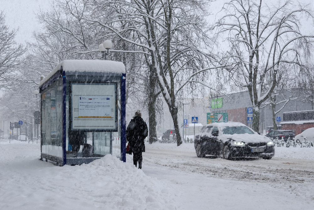
Anywhere from a dusting to two feet of snow — forecasters are not in agreement and neither is the weather
Washington D.C. residents hoping for a quiet weekend may want to revisit those plans. A coastal storm is taking aim at the Mid-Atlantic region starting Sunday, Feb. 22, and while forecasters can agree that something is coming, they are having considerably more trouble agreeing on what exactly that something will be.
The range of possible outcomes is wide enough to be genuinely unhelpful: scenarios currently on the table run from minor accumulations that amount to little more than an inconvenience to blockbuster snowfall totals that would close schools, strand cars and give the region something to talk about for weeks. The honest answer right now is that nobody knows which version shows up — and that uncertainty is itself the story.
What the models are saying — and why they disagree
Three major forecasting tools are currently telling three different stories about this storm, which is how forecasters end up with the kind of press releases that make everyone more anxious without making anyone better informed.
The Global Forecast System is showing a high-impact scenario with up to two feet of snowfall — the dramatic headline number that immediately circulates on social media. Forecasters are quick to note this outcome is unlikely, but there it sits in the model data anyway. The European model is considerably more measured, projecting a more moderate but still impactful storm with accumulations reaching around six inches. The National Blend of Models, which synthesizes more than 20 different models and observational data into the statistically most likely outcome, currently sits around five inches.
The National Weather Service’s own forecast for the D.C. area puts accumulations at one to three inches, with localized areas potentially reaching six. The spread between one inch and two feet captures how genuinely difficult this storm is to pin down.
Why coastal storms are so hard to forecast
The unpredictability is not forecaster incompetence — it is the nature of nor’easters. Coastal storms are acutely sensitive to track. A storm that moves 50 miles farther offshore can be the difference between a rain event and a significant snowstorm for D.C. Temperature profiles through the atmosphere add another layer of complexity, as the boundary between rain and snow tends to shift during these systems, meaning areas can cycle through precipitation types multiple times as conditions evolve.
Several key variables are not expected to resolve until a day or two closer to the storm — which is why updated forecasts as Saturday approaches will be considerably more reliable than anything available right now.
The expected timeline if the storm tracks as forecast
Snow is expected to begin across West Virginia, Virginia and Pennsylvania as early as 11 p.m. Saturday. D.C., Baltimore, New Jersey and Delaware can anticipate snow starting Sunday morning around 10 a.m. Eastern. Most accumulation is expected after sunset — warmer ground temperatures from recent rain and near-50-degree weather leading into the weekend will limit how much sticks during daylight hours. The storm is forecast to taper off around 7 a.m. Monday, Feb. 23.
The system will likely begin as a chilly rain or snow mix Sunday morning before transitioning to wet snow by evening, which is when the meaningful accumulation window opens.
How the region breaks down by area
Virginia faces the widest range of outcomes. Higher elevations near the West Virginia border could see significant snowfall while lower-elevation areas may experience little to nothing, a wintry mix or straight rain. Roanoke can expect snow to arrive around 4 a.m. Sunday if the current track holds. Baltimore is forecast for one to three inches beginning around 11 a.m. Sunday, with higher elevations in the Alleghenies potentially seeing several additional inches.
The probability of winter storm warnings exceeds 80 percent for parts of West Virginia and Pennsylvania. Virginia, Delaware, Maryland and New Jersey currently face a 30 to 50 percent chance of warnings — meaningful odds, but short of certainty. Philadelphia and New York City are also in the path of potential accumulations as the system moves up the coast Sunday into Monday.
The short version: keep the weekend flexible, check forecasts again Saturday and do not put the snow shovel away just yet.


