


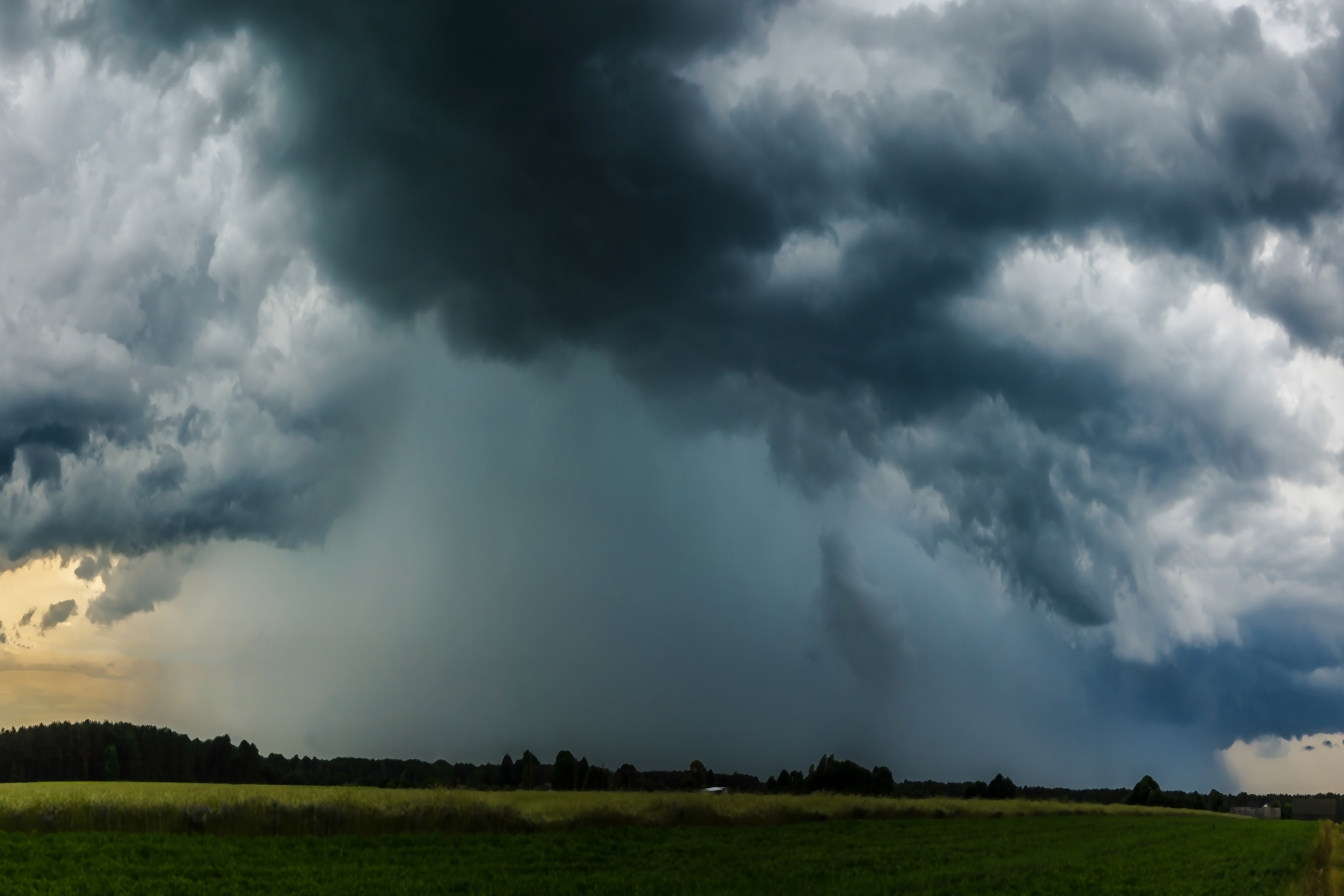
Storms are still hours away when the day begins, and the morning gives no hint of what’s coming. Warm, sticky air settles over the capital region, and skies stay mostly clear, a welcome break from the smoky haze that has hung around in recent weeks. A weak front drifting north may spark a passing shower or a distant rumble, but forecasters expect nothing dramatic before lunchtime. It’s the kind of morning that lulls people into letting their guard down, quiet and forgettable, right up until the atmosphere decides to shift gears.
That shift won’t wait long. By early afternoon, temperatures are expected to climb toward the 90-degree mark, and with that heat comes fuel. The same humidity that made the morning feel sluggish becomes the ingredient that turns the sky unstable, setting up conditions ripe for the storms many residents have been bracing for all week.
Afternoon Storms Build Fast Momentum
Once the atmosphere destabilizes, things move quickly. The most significant storms are expected to fire up after 4 p.m., a timing window that lines up almost perfectly with the evening commute and school pickup lines across the region. That timing couldn’t be worse, arriving just as roads fill and patience runs thin.
Forecasters have placed the area under an enhanced risk category, a label reserved for setups with real potential for damaging impacts. The primary threats include:
- Damaging wind gusts strong enough to snap tree limbs and knock out power
- Torrential rain capable of triggering flash flooding in low-lying and paved areas
- An isolated tornado, though this remains a lower-probability threat
Multiple waves of storms could roll through into the overnight hours, which means the danger doesn’t simply vanish once the sun sets. A calm sky at 9 p.m. offers no real guarantee the risk has passed, and forecasters say some of the most intense activity of the day can strike well after people assume it’s over.
Why Storms Could Linger Into Wednesday
Tuesday’s system isn’t expected to wrap up neatly overnight. A second round of showers and storms remains possible Wednesday, though the overall threat level is currently expected to run lower than Tuesday’s. Anyone with plans outdoors midweek should still keep an eye on the horizon, since one rough weather day rarely resolves itself in a single sweep, even as the pattern gradually loses steam.
Relief Finally Arrives by Week’s End
The break residents have been waiting for arrives Thursday, bringing a noticeably drier, more comfortable stretch of air. That improvement should hold through Friday and into the weekend, offering a welcome reset after days of oppressive heat and stormy instability. Weekend outdoor plans currently look far safer than anything on the docket midweek, a small silver lining after several rocky days of forecasting.
For now, all eyes stay locked on Tuesday afternoon and evening, when heat, humidity and atmospheric energy converge at their peak. Commuters and anyone with evening plans are urged to stay alert, keep phones charged, and treat any severe weather alert as one worth acting on immediately. The margin for error is thin, and this round of storms isn’t the kind to take lightly.
Source: FOX 5
