


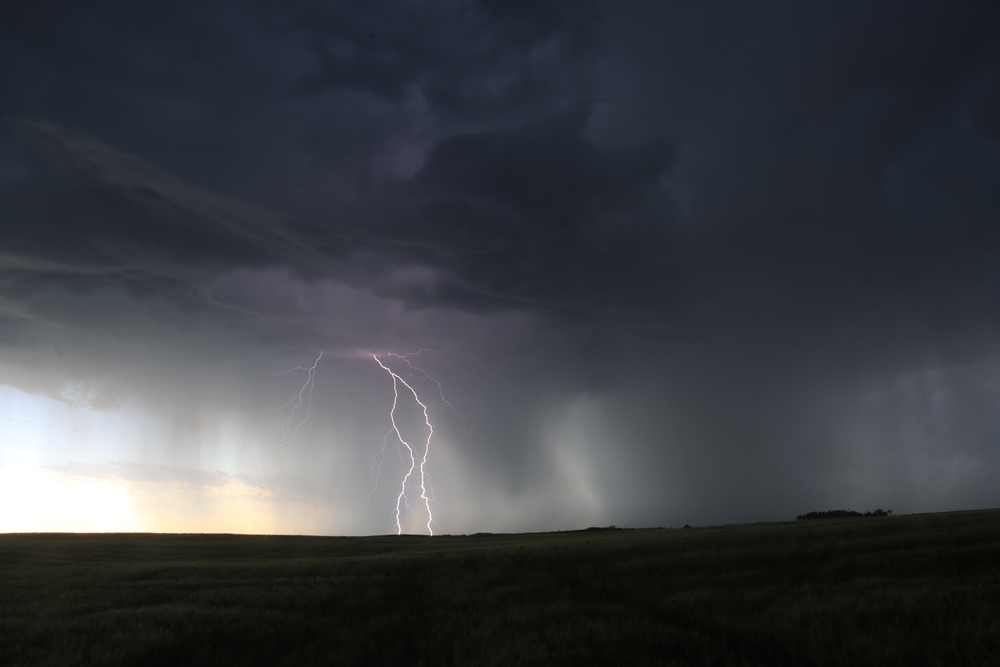
A restless August sky is about to turn hostile across a wide stretch of the eastern half of the country. Forecasters expect strong to severe storms to erupt this afternoon and evening from the Mid-Atlantic through the Northeast and into the Midwest, setting up a messy commute and a rumbling, unsettled night for millions.
A slow-moving disturbance is the trigger. As it slides across the region, scattered showers and thunderstorms will bubble up through the afternoon, some of them strong enough to earn a severe label. The heaviest activity is expected around New York City, northern New Jersey, eastern Pennsylvania and down toward Washington, where sudden downpours and gusty winds could snarl the evening rush.
Where the storms take aim
The Storm Prediction Center has flagged a Slight Risk, level 2 out of 5, across far southern New York, northern New Jersey, eastern Pennsylvania, northern Delaware, parts of Maryland and far northern Virginia. That zone sweeps up several major hubs, among them New York City, Newark, Philadelphia, Baltimore and the nation’s capital.
A Severe Thunderstorm Watch is already up for northern Virginia, much of Maryland, eastern Pennsylvania, Delaware, New Jersey and southeastern New York. The main hazards from these storms are drenching rain and powerful wind gusts, the kind that can snap branches, topple loose objects and leave scattered outages behind. Drivers should brace for slick roads and stop-and-go delays well into the night.
More storms build in the Midwest
The East is not alone. A second disturbance is set to spark storms across the Midwest later in the day, and the Storm Prediction Center has drawn additional Slight Risk zones over much of Iowa, south-central Minnesota, northern Wisconsin and Michigan’s Upper Peninsula. Des Moines and Marquette sit squarely in the path.
A separate Severe Thunderstorm Watch covers much of Iowa, where the atmosphere is primed for fast-building cells. And the trouble may not end when the sun comes up. Another round of severe storms could take shape across the central Plains on Saturday afternoon and evening, driven by a quick-moving area of low pressure that keeps the unsettled pattern rolling into the weekend. Residents there would be wise to keep the weekend forecast handy before making firm plans.
A watch is not a warning
When the alerts start stacking up, the wording matters. The difference is simple but easy to blur in a tense moment.
- A watch means the ingredients are in place and dangerous weather is possible, so it is time to stay alert and make a plan.
- A warning means the threat is happening right now, and it is time to act and take shelter without delay.
Because some of these storms are expected to rumble through late tonight, having more than one way to get alerts is smart. A phone app, a weather radio and local broadcasts can all reach you when a warning lands after dark and you might otherwise sleep through it.
Staying safe as the storms roll through
The safest move during any thunderstorm is also the oldest one. When thunder roars, head indoors, and stay put until well after the last rumble fades. Lightning can strike miles from the nearest rain, so an open field, a beach or a metal bleacher is no place to wait things out. Sheltered indoors means away from windows and off corded electronics too, a small habit that pays off when a strong cell rolls overhead.
If you are on the road when the sky opens up, ease off the gas, leave extra space and watch for ponding at underpasses and low spots. A few minutes of patience beats getting stranded in rising water. Anyone with outdoor plans this evening may want to shift them earlier or push them to another day, since these storms will have plenty of energy to feed on as the afternoon heat peaks.
By this weekend the pattern should begin to relax, but the next couple of days will keep forecasters and commuters on edge. For now the message is straightforward. Keep an eye on the sky, keep your phone charged and let the storms pass before heading back out.
Source: WeatherBug
